

The Delta region encompasses much more than the boundaries by which it is defined. The Lower Mississippi Delta is a vast and vital part of the American landscape. This broad, valley reaches from southern Illinois to the southeastern tip of Louisiana. The Deltas 90,000 miles of rivers and streams cover some 3 million acres, dictating much of the regions landscape and land use. Beautiful lakes and wildlife abound here. Here are a few pictures of the area.
|
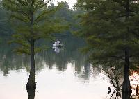
A peaceful scene

|
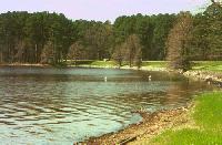
Come on in
the fishin' is great
|
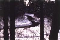
Wintertime in the Delta
|
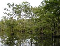
Cypress trees abound
|
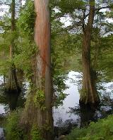
Cypress Trunks
|
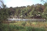
Egrets in flight
|
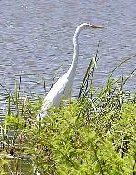
A close-up
|
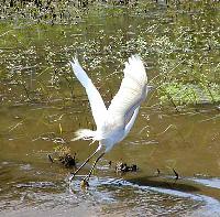
Really fun to watch

|
Whitetails
Beautiful Animals
|
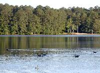
Geese
A peaceful sight

|

|
King Cotton
Cotton is the leading agricultural product in Mississippi.
The Natchez Trace
The Natchez Trace Parkway, an historical 450-mile route from Natchez, Mississippi to Nashville, Tennessee, is a part of the U.S. National Park System. The current two-lane road was begun in the late 1930s, following a path which, some say, began as buffalo trails later followed by the Native American tribes in the Mississippi, Alabama and Tennessee area. Except for about 10 miles at the Natchez terminus and a 15-mile segment at Jackson, the Trace is now a continuous road in a scenic natural setting.
|
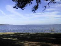
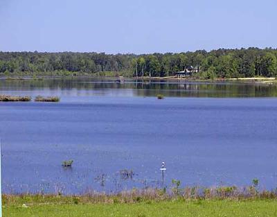
Natchez Trace Overlook
This 50 square mile reservoir is formed by an earth filled dam. I bet this water is full of some great fish.
|
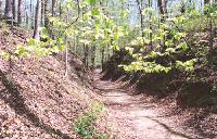
A Sunken Trace
|
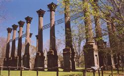
Ruins of Windsor Mansion
|
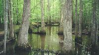
Cole Creek Nature Site
|
Trace Reservoir

|
A typical bridge
|
another peaceful scene
|
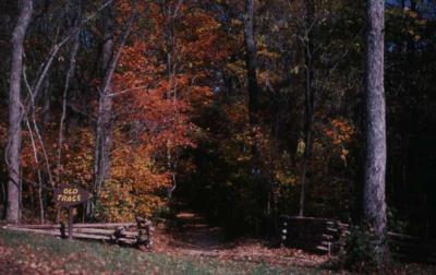
Natchez Trace in the Fall